
Project 2026
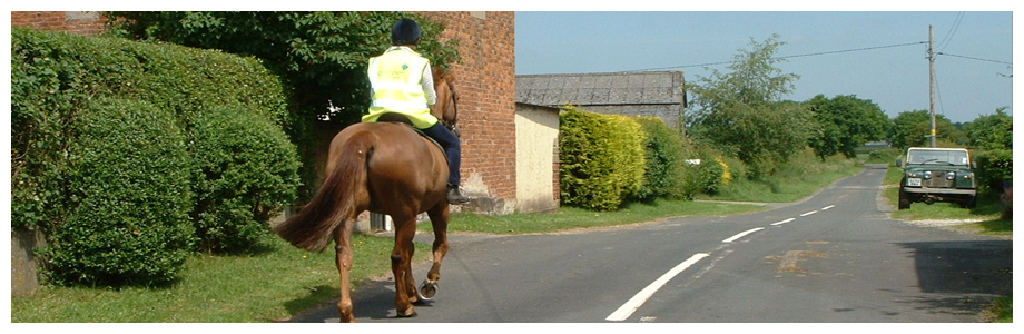
30 years since the formation of the Mid Cheshire Bridleways Association, the ability of people to enjoy the countryside along historical routes is being threatened.
In England there are 117,000 miles of public rights of way; 22% of these carry rights for riders and 5% are byways and restricted byways. The Cheshire West and East areas combined have 1987 miles of public rights of way; 10% of these carry rights for riders and 4% are byways and restricted byways.
Is your hack on the map? We have until January 2026 to save our historic rights of way. A clause in Countryside and Rights of Way Act introduced by the government in 2000 stated that any pre-1949 paths must be recorded by 2026 to continue to carry public rights.
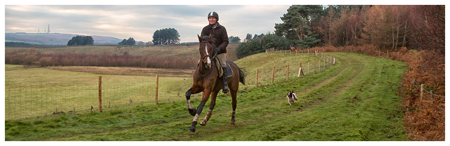
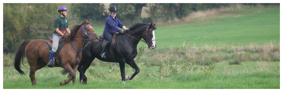
Public paths criss-cross the country. These paths link villages, hamlets, roads and towns – they show how for hundreds of years we have traveled across the land.
However many of our public paths are unrecorded and if they are not put on the definitive map by 1st January 2026, they will be lost forever. The Definitive Map and Statement is the legal record of public rights of way. Bridleways and footpaths that were in existence before 1949 and are not recorded by 2026 will be extinguished.
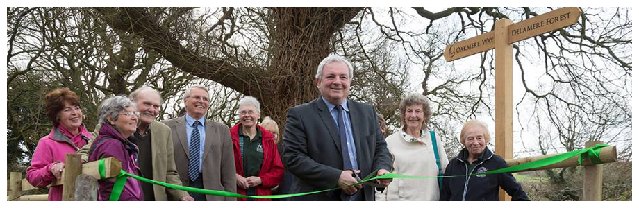
Would you like to help? Volunteers are needed to both join both the committee and also to carry out the necessary research (both the young and the more mature) in order to safeguard the routes for future generations.
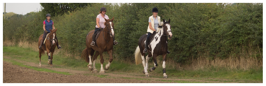
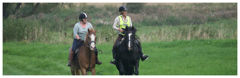
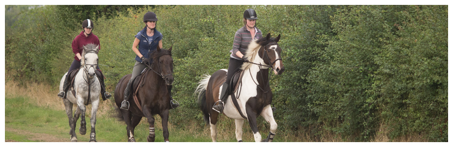
Become a member? By paying an annual membership fee (£10) you are helping Mid Cheshire Bridleways particularly to continue to work towards the creation of new access routes, to be able to fund historical research on lost ways and to speak up for local riders at public inquiries when the need arises. They also organise rides, talks and social events and there is a Facebook page where members can organise to meet up with other riders to enjoy hacking around beautiful countryside and to share routes etc. or get assistance to report issues.
The BHS has produced the 2026 Toolkit so that you can protect your local bridleways from closure following the deadline. It contains all the information you need to check whether the routes you ride are recorded, and if they aren’t how you can protect them beyond 2026. It takes you through marking up your local routes that aren’t currently shown on the OS map, and how to gather the evidence you need to back up the existence of your route.
For access to your local Equestrian Access mapping from the BHS, please click the link below:
https://www.bhsaccess.org.uk/dobbin/Project2026.php?id=northwest/2026CheshireWest
Posted in Project 2026